Four days, four friends, 450 miles, three RZRs — what more could you want? Here’s our Arizona Peace Trail Drive Report.
ALSO, SEE: Best Off-Road Trails in Arizona
When it comes to exploring, UTVs are a great way to get out into nature and travel over long distances. Before this trip, the majority of my exploring has been day trips long enough to get far into the desert and enjoy absolute seclusion from my daily city life. I have enjoyed many trips with my wife and two kids, as well as my parents who also have their own UTV and many of my local friends. Since I started the magazine just over 12 years ago, I have been exploring the desert trails of Arizona and have enjoyed each and every mile and every smile. Arizona is great for exploring and it seems to have endless miles of trails to discover. If you can read maps and are a good navigator, you can travel far distances long enough for overnight excursions through the desert as well as through the high elevation of the northern mountains and some southern mountain ranges. For those that need a taste of a long overnight trip, here’s our Arizona Peace Trail Drive Report.
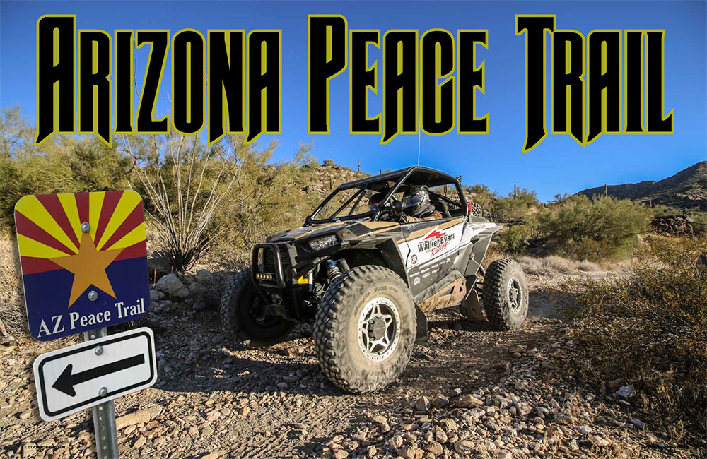
AZ Peace Trail Drive Report
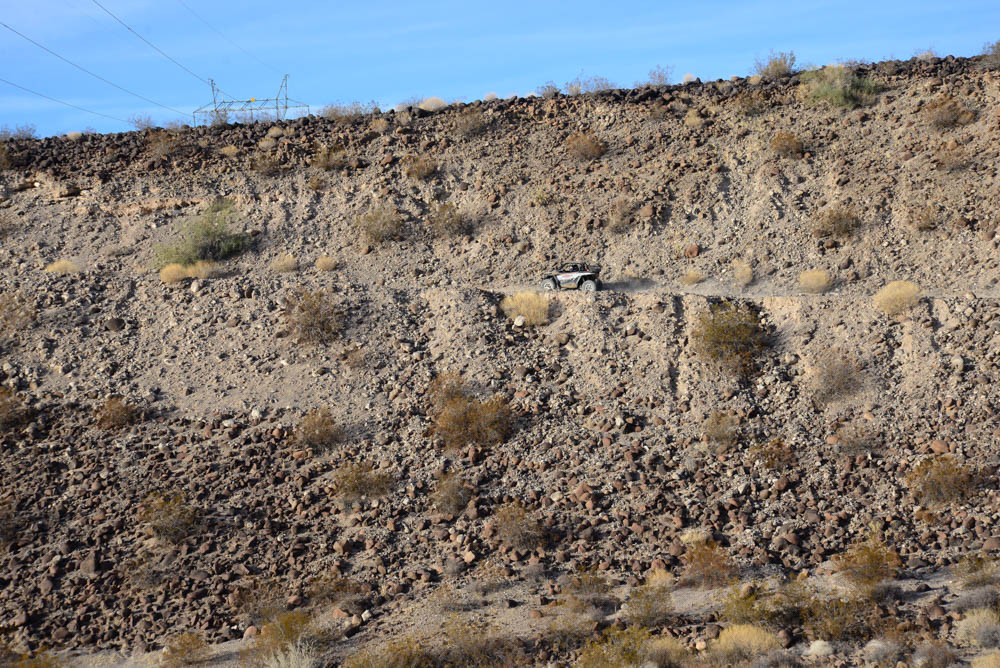
The Arizona Peace Trail is a 750-mile-long Off-Highway Vehicle (OHV) Loop Trail that explores the dramatic and remote Sonoran Desert landscapes of western Arizona. The trail stretches from Yuma, AZ in the South to Bullhead City, AZ in the North. If you visit their website (www.ArizonaPeaceTrail.org) it will provide you with great trail resources to start your adventure. They provide a sample itinerary as well GPS routes to get you moving in the right direction with planned fuel stops and food locations. This is an invaluable resource that would take a lot of time to figure out on your own. If you think you can just hit the trail and wing it for a multi-day ride, you would be wrong. It takes a lot of planning and knowledge of GPS maps to have a successful trip. I wish it was as easy as following AZ Peace Trail signs for the main route, but right now with all the connector trails and spur trails it is not possible. I would also look at the “Support Partners” on their website and browse the 14 Clubs that have contributed to the planning and implementation of the trails. Along with the Arizona Game and Fish Department, the Arizona Department of Transportation (ADOT) and the BLM have all come together to form the new Arizona Peace Trail.
Trip Preparation
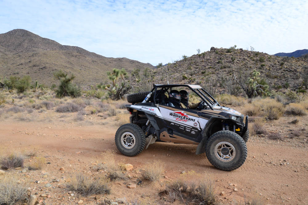
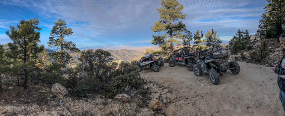
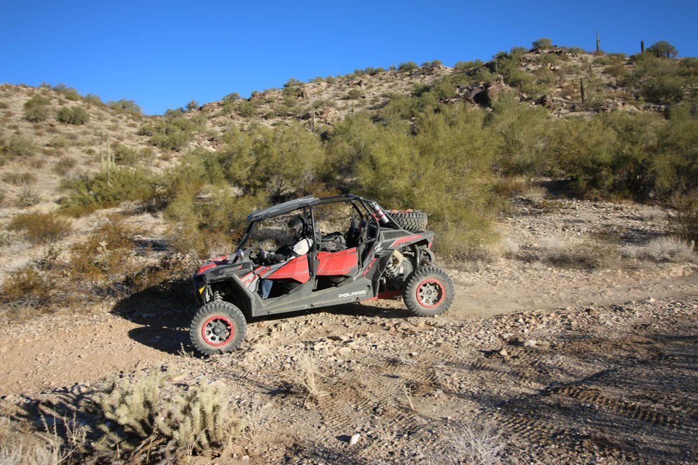
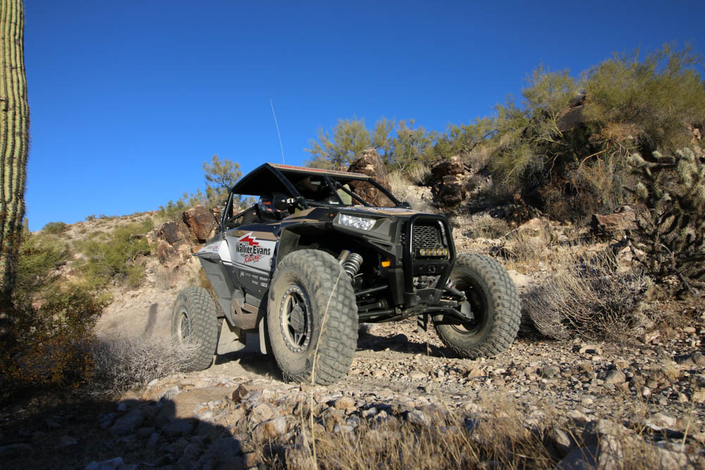
The three most important things that I would say are a necessity is 50 or 60-watt car-to-car radio set up that you can purchase at Rugged Radios; a GPS with a large enough screen that you can follow while on the trail; and lastly, a person with knowledge of both. Our Navigator for the trip was Reid Nordin from Walker Evans Racing who was set up with an iPad with LeadNav application and a Lowrance GPS plus an in-car radio. Jon Crowley from utvguide.net was set up with a Rugged Radios 60- watt radio and a Magellan TRX7 GPS that he was learning how to use on the trip. For me, I greatly underestimated the distance we would be traveling between UTVs to stay out of the dust. I outfitted my RZR with Rugged Radios 5-watt dual band handheld radio complete with a helmet kit and a handheld GPS. Both Jon and I were driving RZR XP/XP 4 Dynamix editions with the Polaris Ride Command dash units. We tried loading the AZPT routes on the Ride Command but the file was too large. The Ride Command has most of the routes, which was helpful at times and confusing on other times due to the amount of trails going every which way. We experimented with the “Group Ride” feature but it would lose cell service and would disconnect. We’ll experiment with that later since we had some miles to cover on our first day. We all were driving RZRs, and outside of our radio setups and spare tires, there was nothing that made these units more capable than any stock UTV. Of course we brought food, drinks, extra gas, tools, spare belt, air compressors and tire repair kits.
Day 1: Parker to Bullhead City – 140 miles
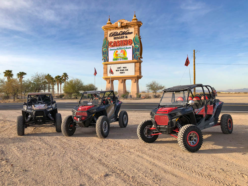
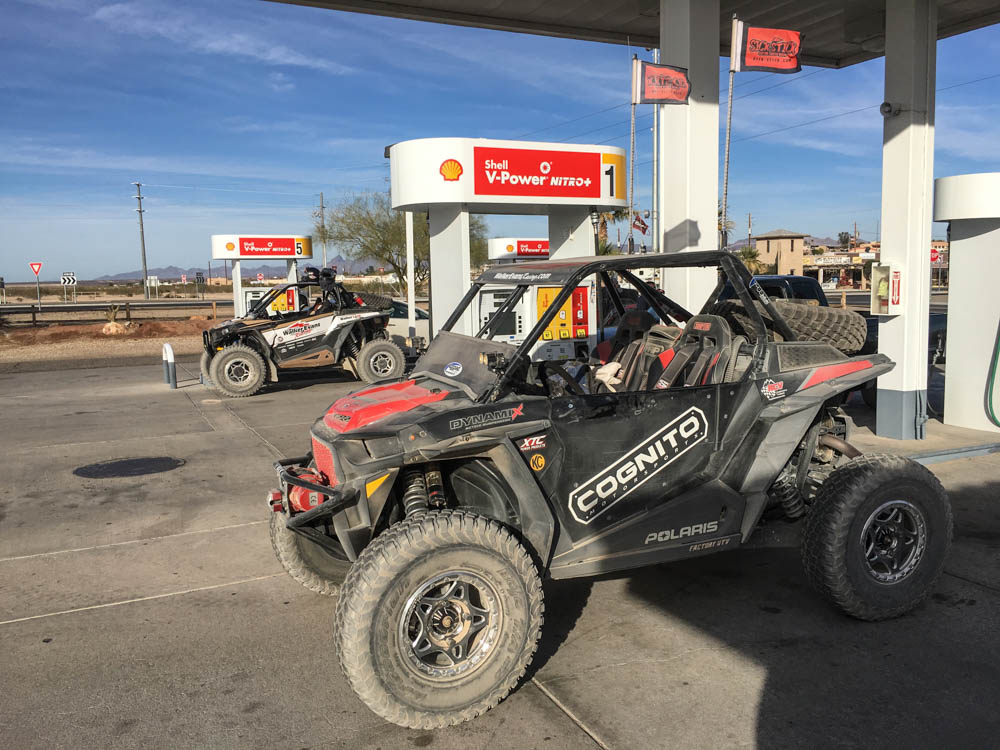
We started our adventure from the Bluewater Casino in Parker, AZ on New Year’s Day around 8AM. Parker is not part of the AZPT loop, but there are a lot of connector trails that eventually meet up to the loop. With our RZRs fueled up, we hit the trails on our way to Bullhead City, which would be our first overnight stay. On our way to Bullhead City we took a connector route than ran on the backside of Lake Havasu. The main route will take you along the shore of the river. If you have time to go on this route I would recommend it, since there is nothing really exciting while on the trail to Bullhead. However, we did stop on top of a ridge that overlooked the river on one of our stops. Depending on where you started your trip, it may be the only gas stop along the way to Bullhead. We stopped at Golden Shore, AZ to fuel up, which is just outside of Bullhead City.
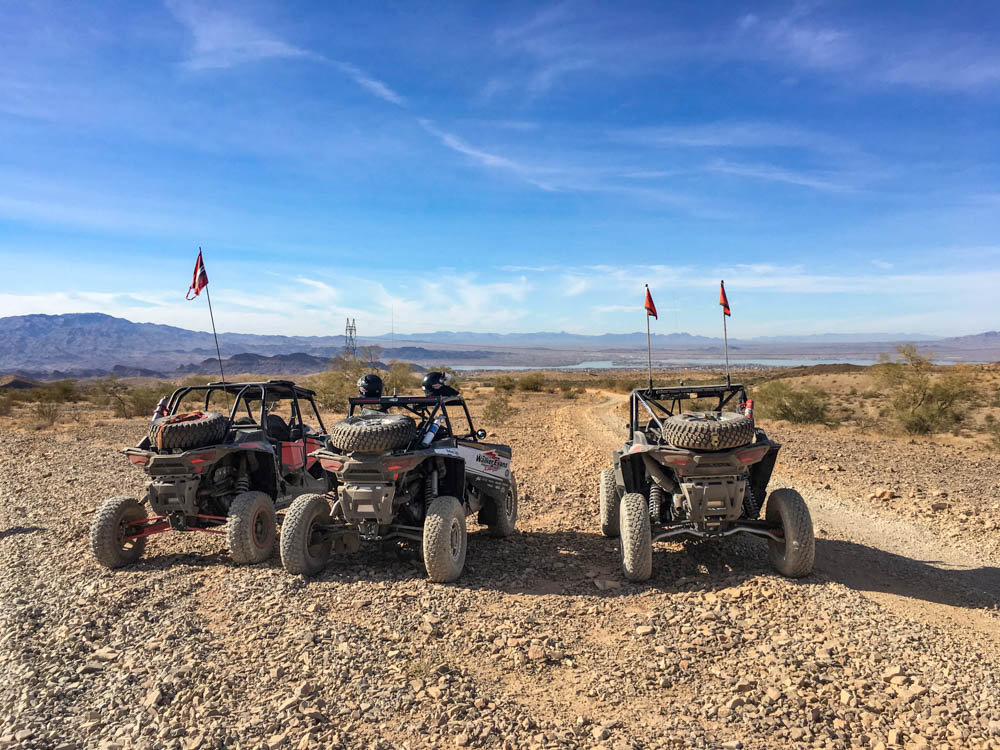
Arizona Peace Trail Drive Report
Day 2: Bullhead City to Kingman – 75 miles
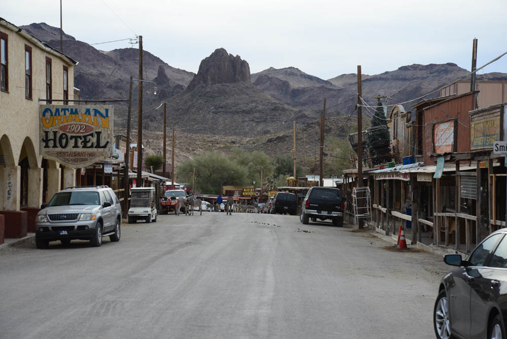
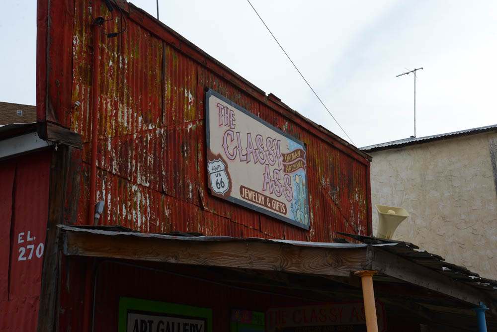
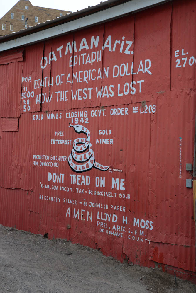
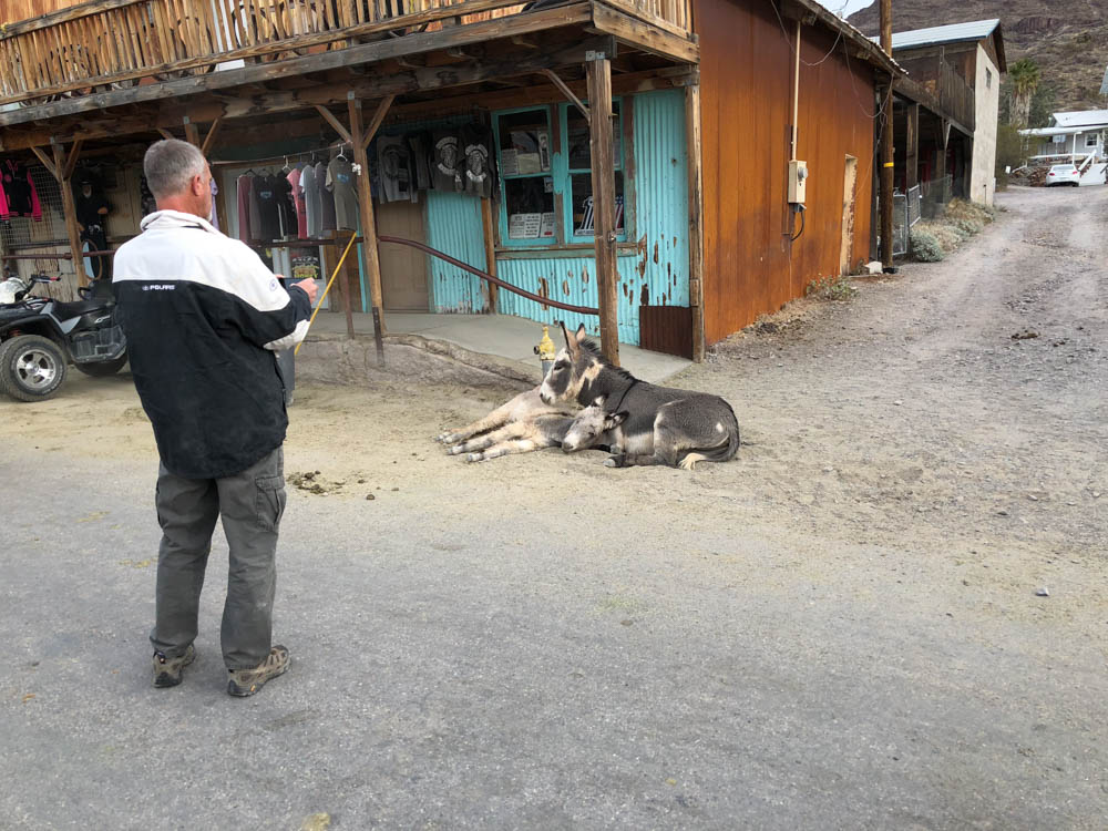
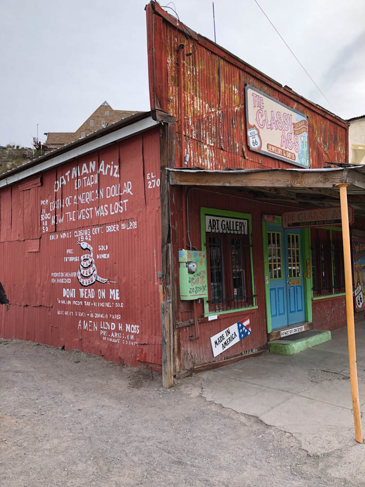
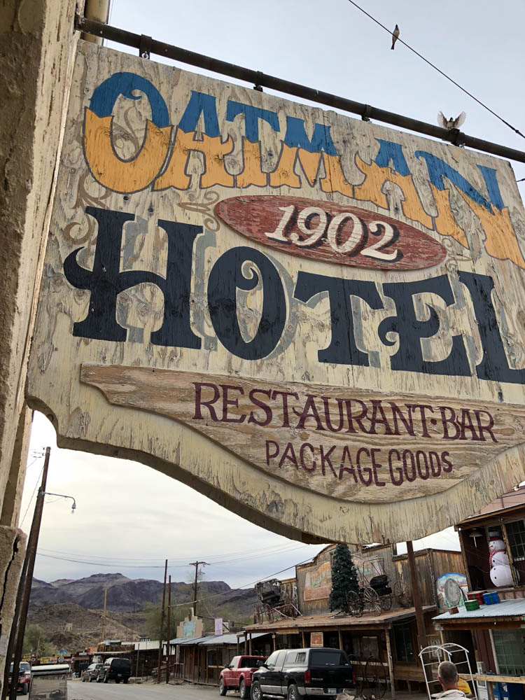
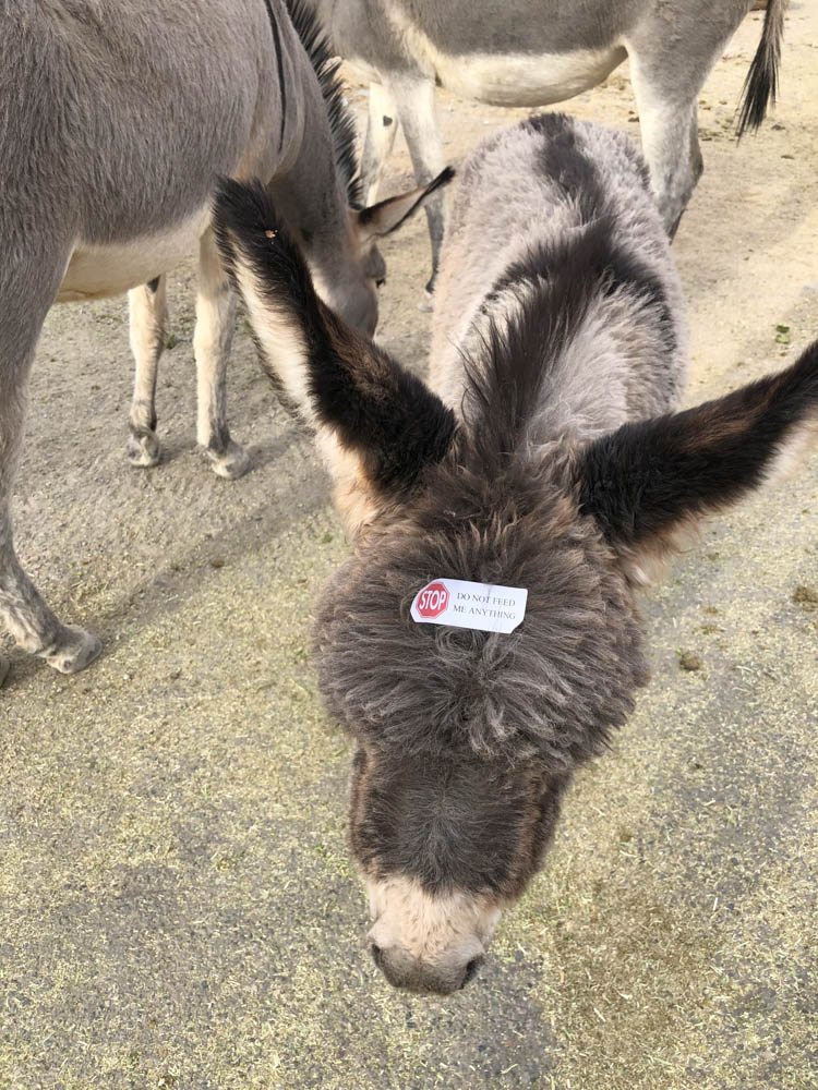
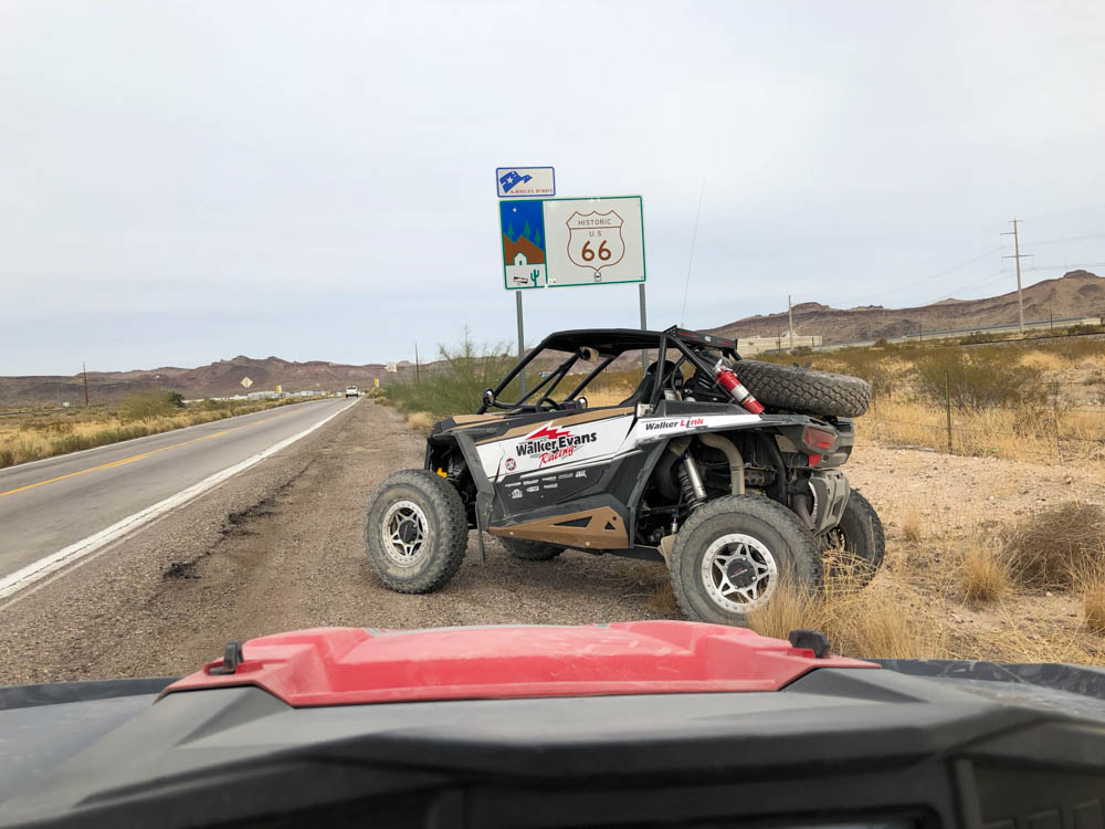
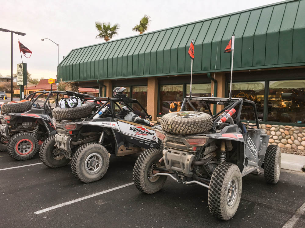
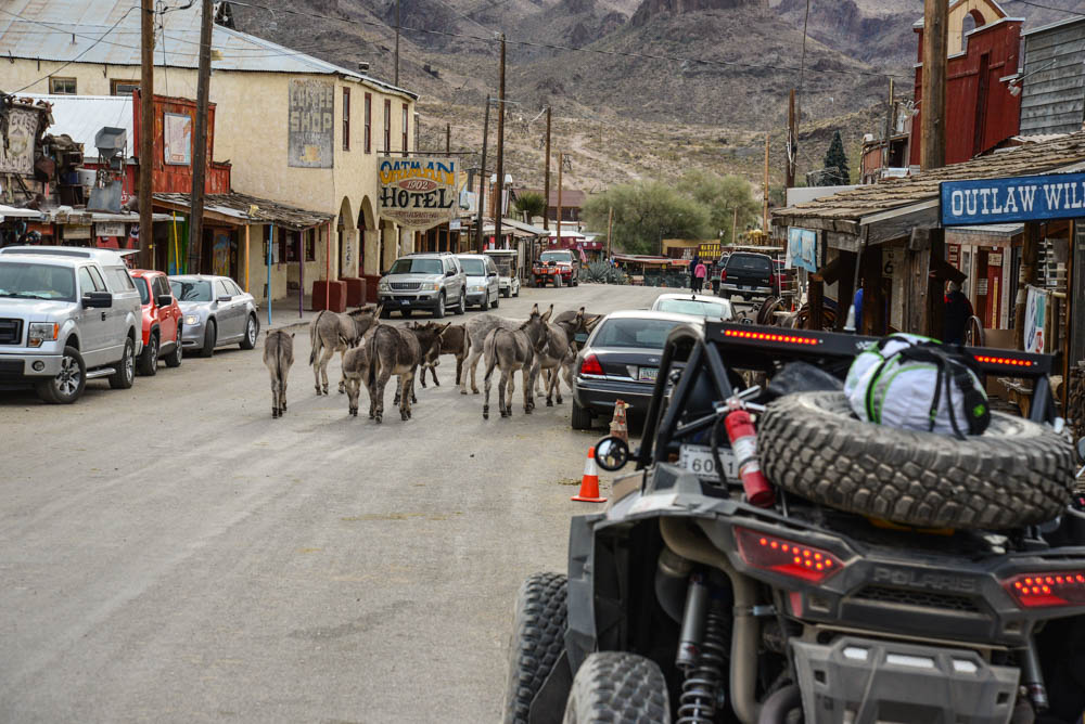
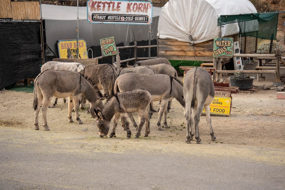
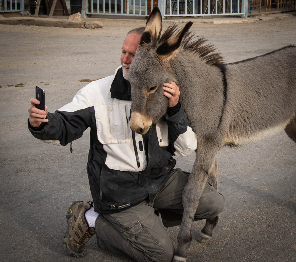
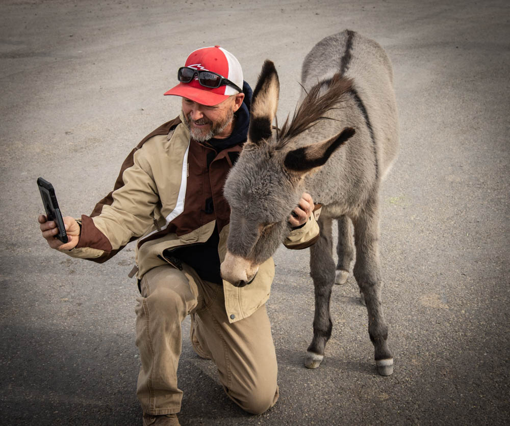
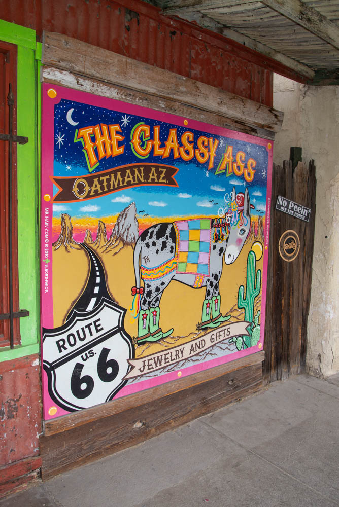
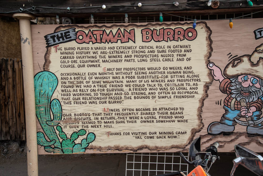
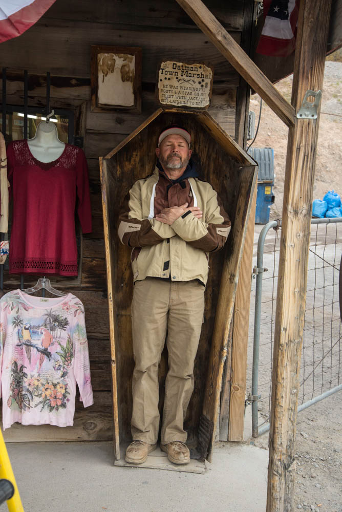
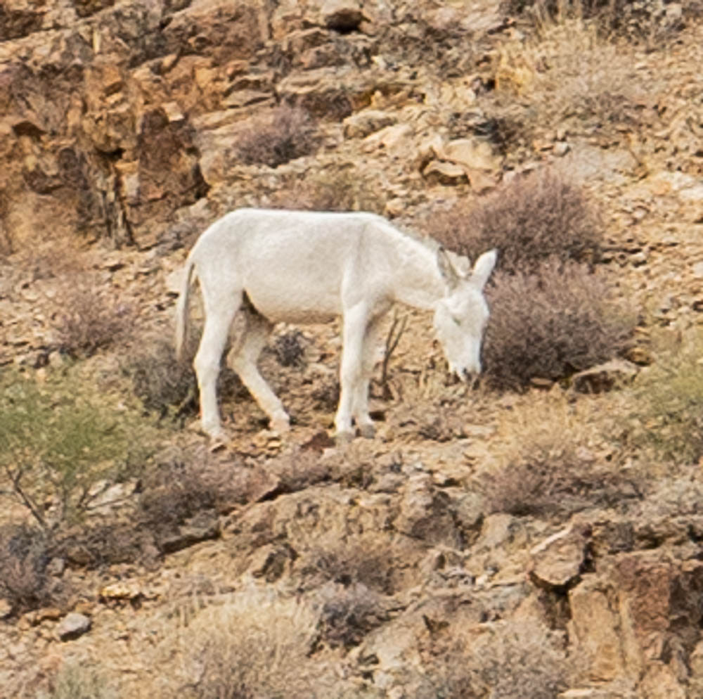
We started our day with breakfast at the Black Bear Diner before we hit the trails. Since we fueled up the day before and we knew Day 2 would be a short drive, we took a side detour and visited the town of Oatman, Arizona. Oatman is an interesting town with “wild burros” roaming the streets. Actually, they are not so wild, they are super friendly and hang around town where there is plenty to eat thanks to the local businesses that feed them regularly. Oatman is a former gold mining town that is actually a “living” ghost town with Route 66 running through it. If you get a chance, check out Oatman as part of your desination.

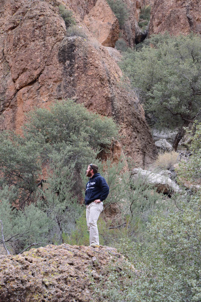
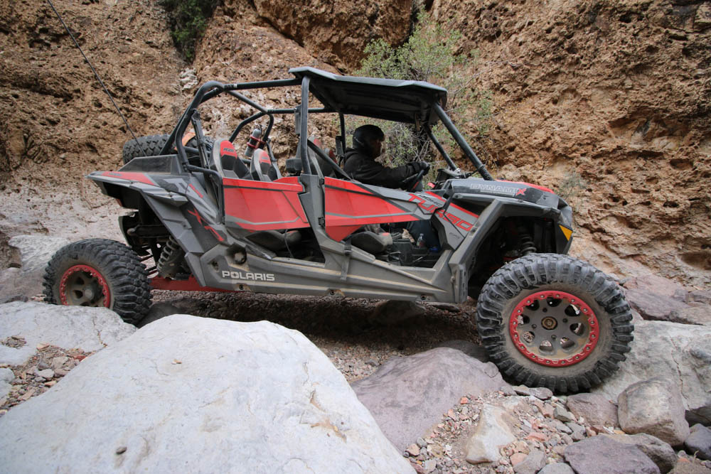
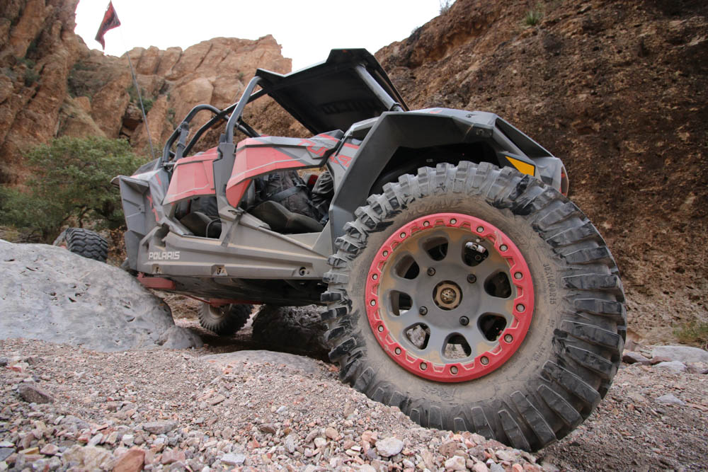
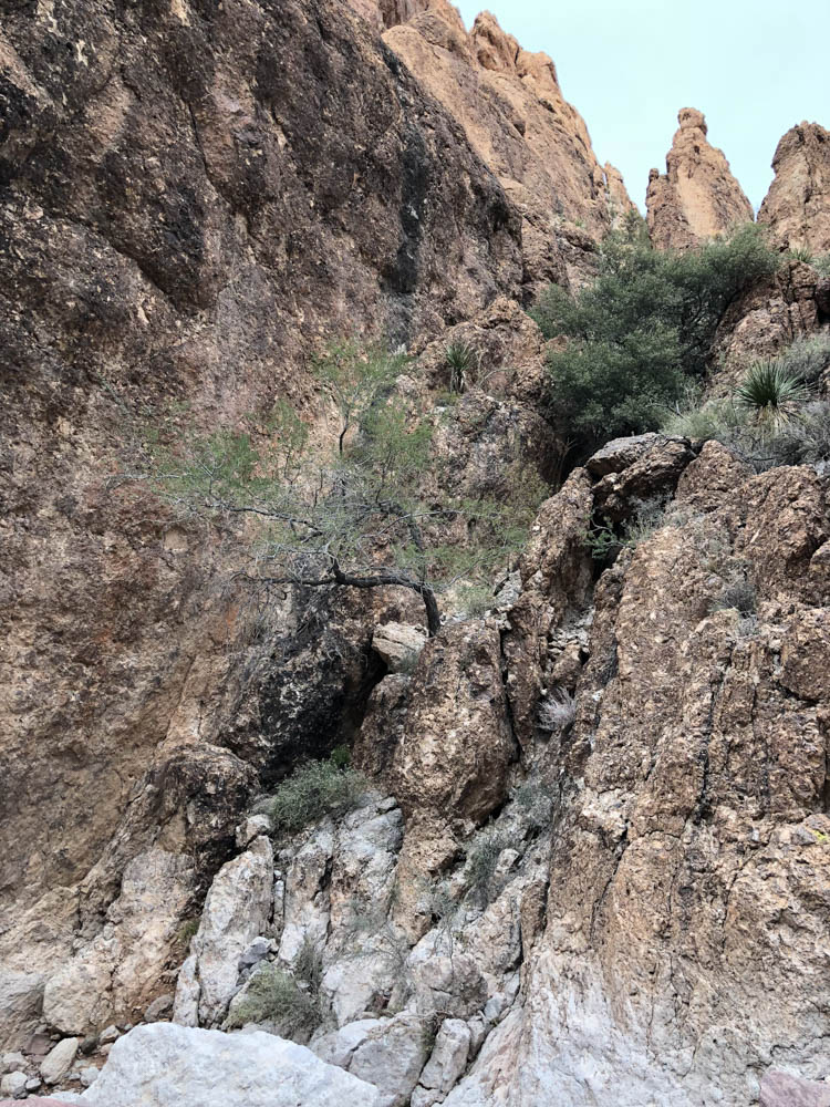
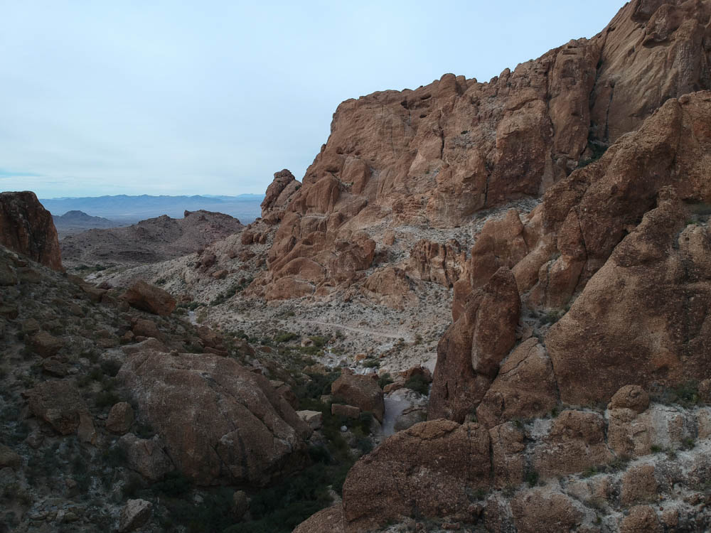
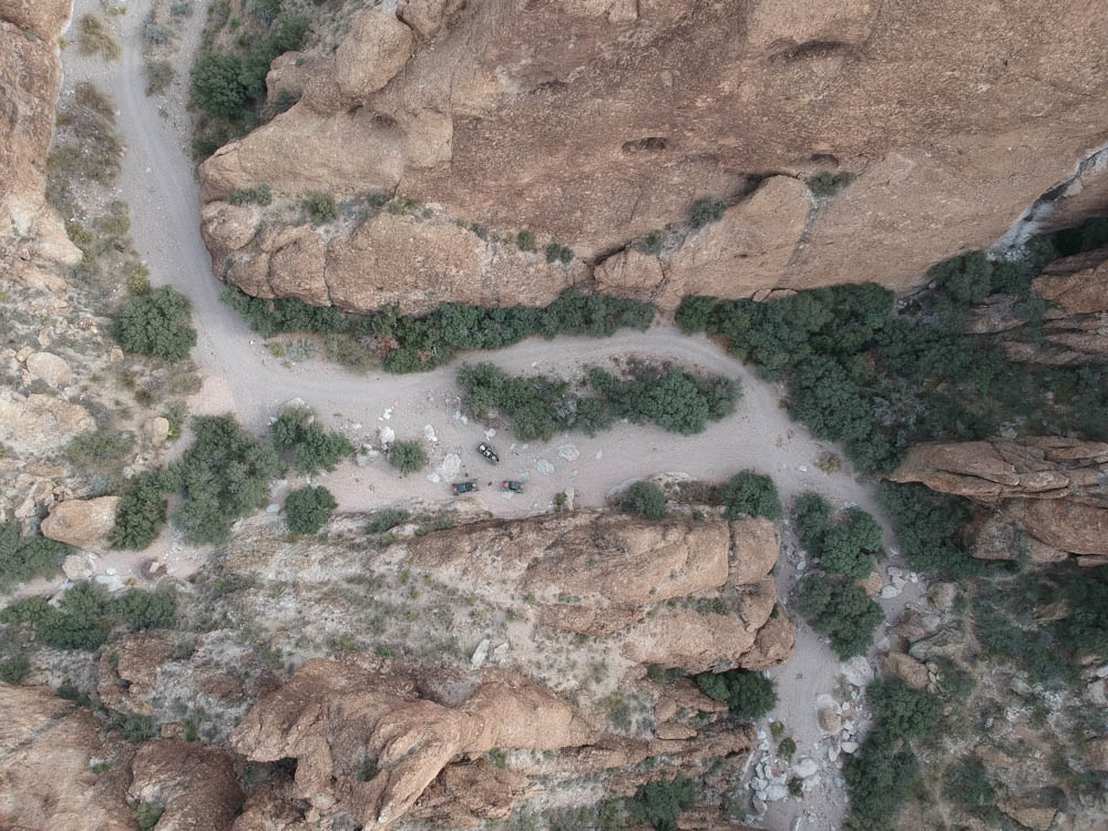
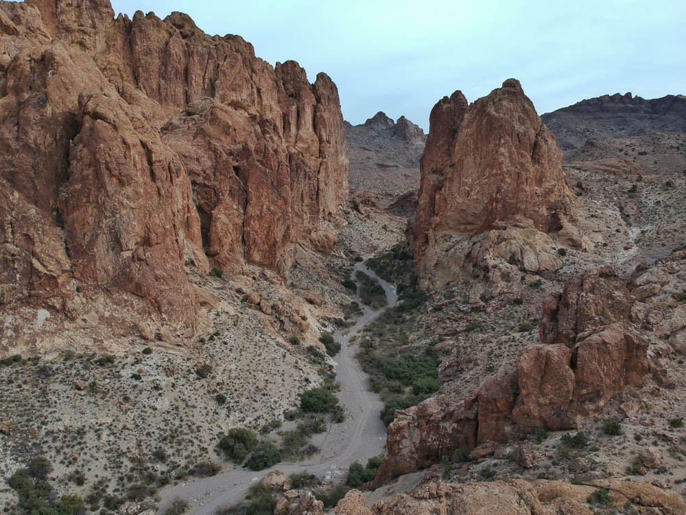
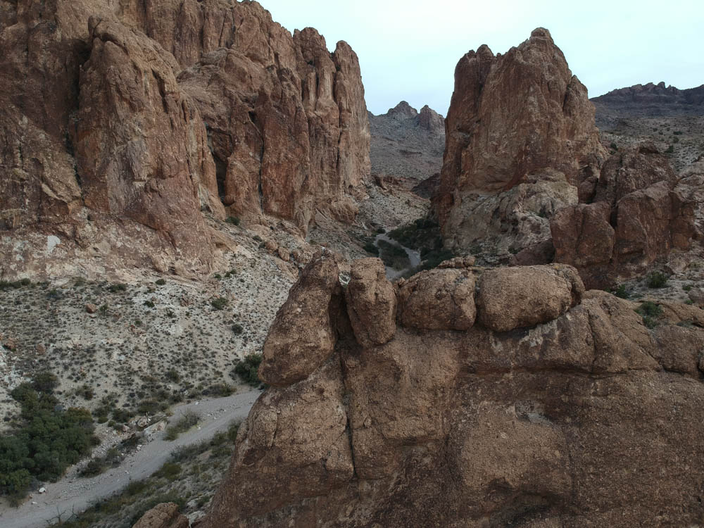
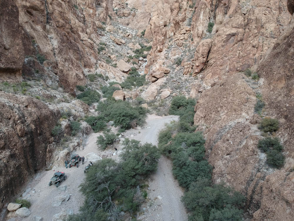
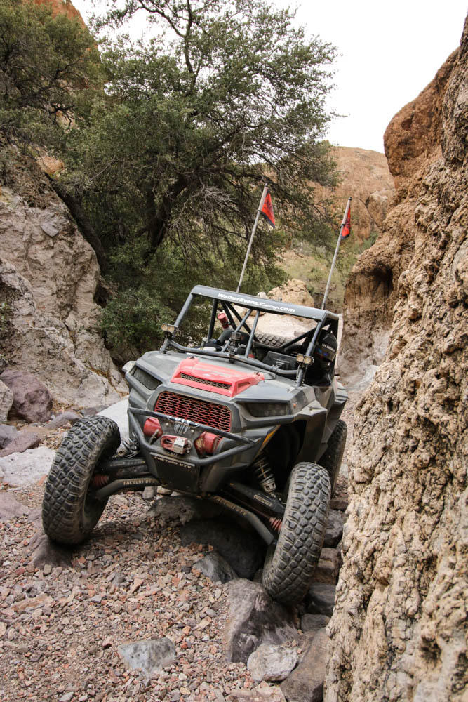
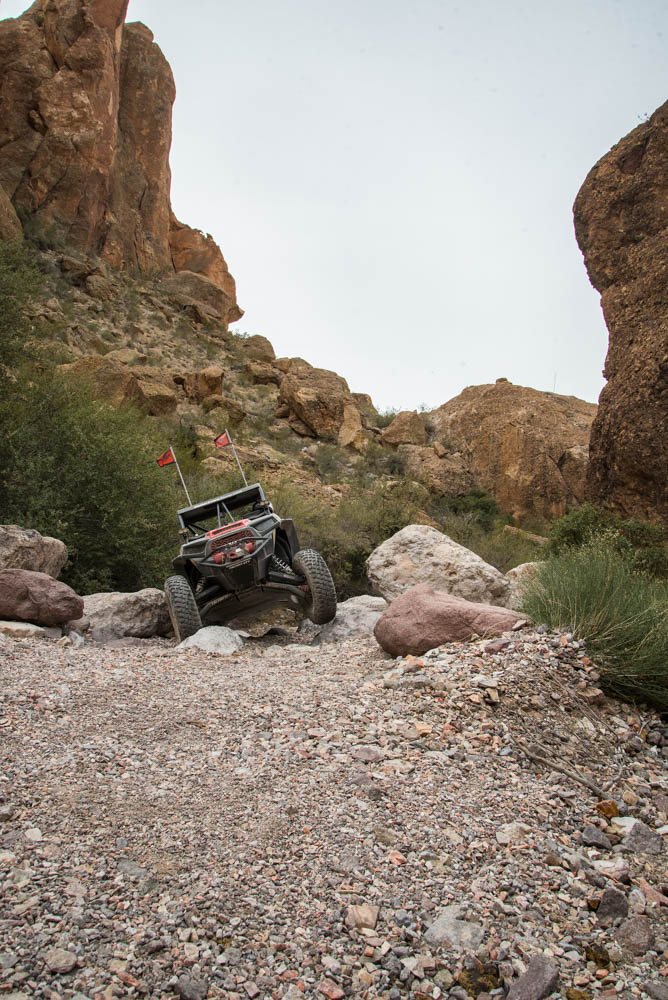
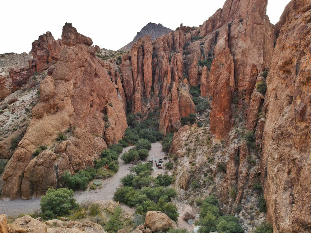
On our way to Kingman from Oatman we took another side diversion to a spur trail called Secret Pass. Secret Pass winds its way through the Black Mountains and reveals a beautiful canyon that was a perfect spot to hang out for a while, soak up all its grandeur and snap a few photos.

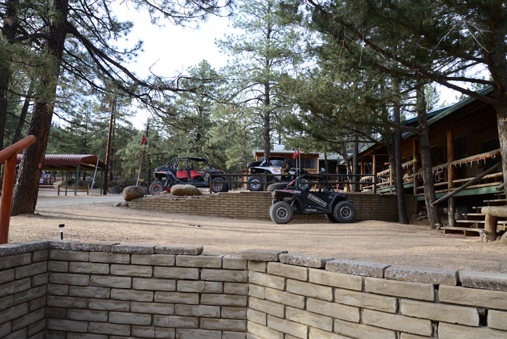
After our relaxing stop we headed off to Kingman. Our primitive trail turned into a graded dirt road that seemed to never end through the Sacramento Valley. We topped off our fuel in Kingman and ate lunch at the Dambar Steakhouse and continued to our next overnight stay at the Hualapai Mountain Resort just outside of Kingman. The Hualapai Resort is nestled high in the cool pines at around 7,000 feet. Unfortunately, the resort is closed on Mondays and Tuesdays, so we didn’t get to eat dinner at their restaurant. Luckily, we made arrangements to get the keys for our rooms. Dinner for us would be a feast of Fritos and bean dip. If you plan on going over the Hualapai Mountains, be sure to check the weather in the winter months because it is not uncommon to get snow.
Arizona Peace Trail Drive Report
Day 3: Hualapai to Salome – 169 Miles
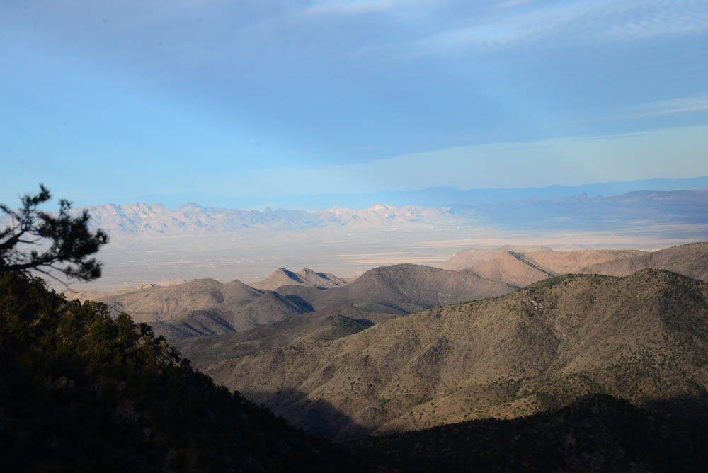
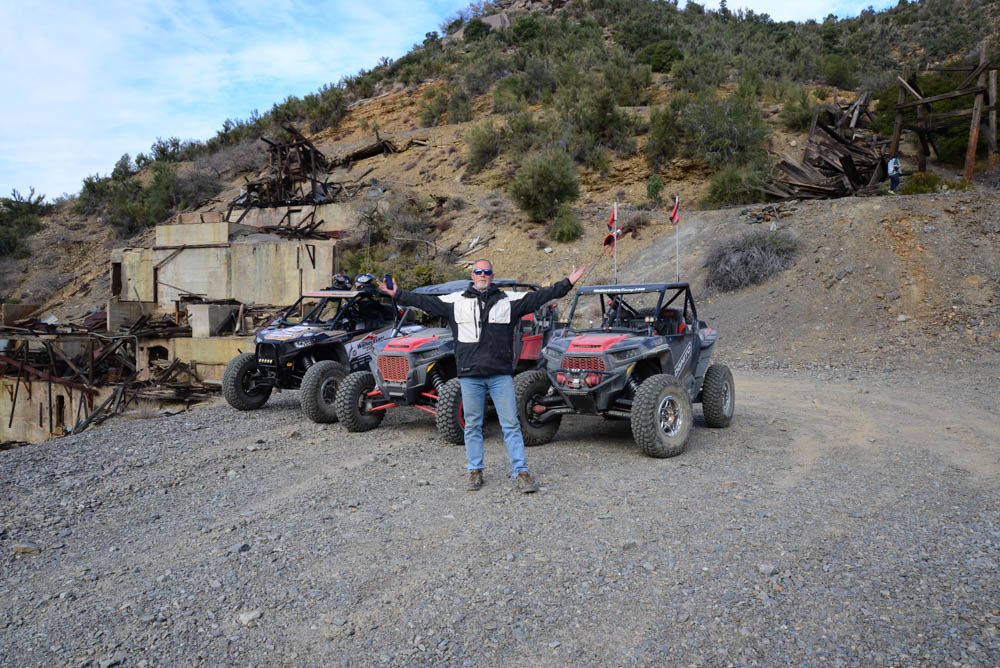
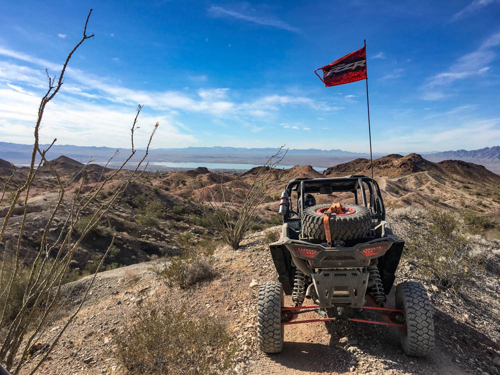
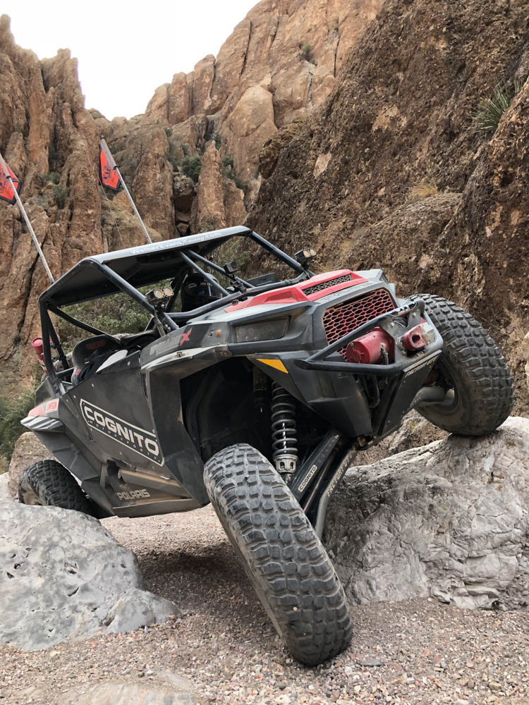
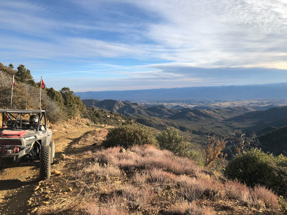
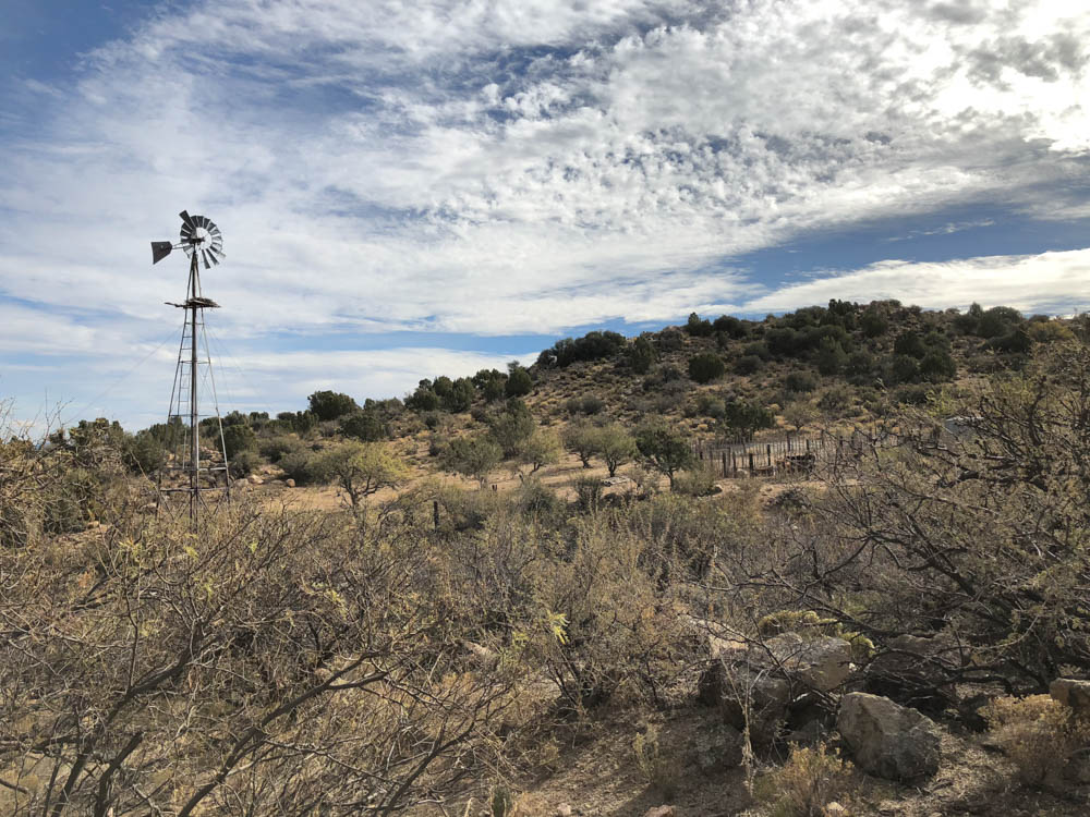
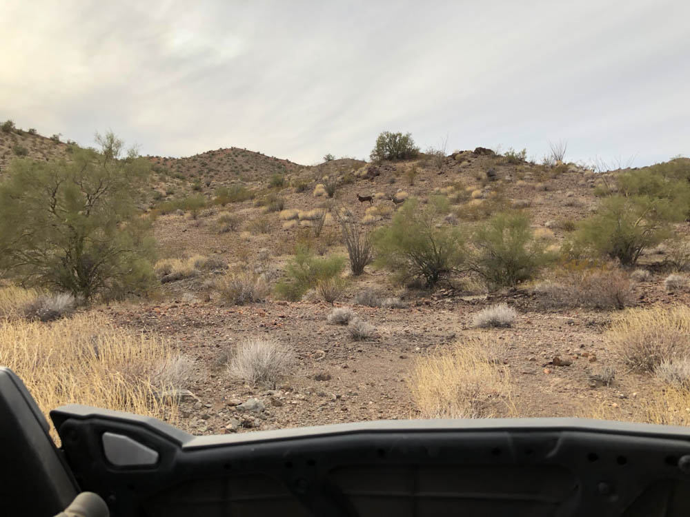
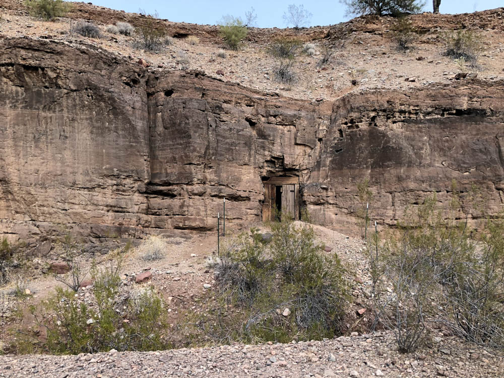
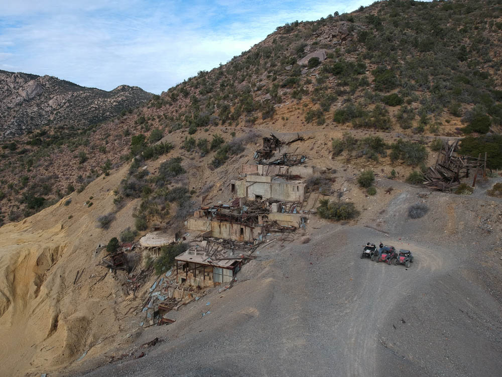
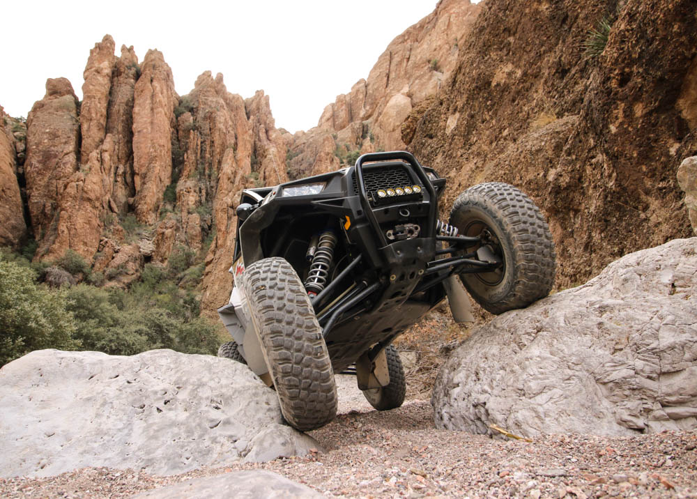
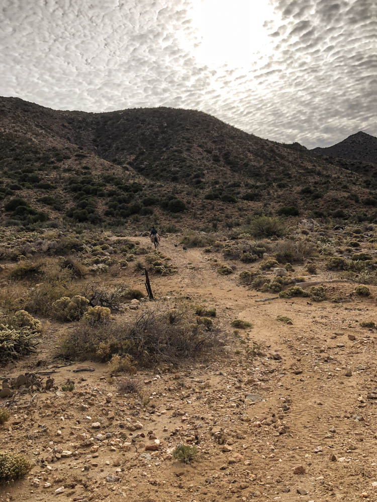
The next morning was a chilly one and our route led us up in elevation. We stopped at an overlook and we could see Kingman in the background as well as the Black Mountains that we traveled from the day before. The pass was curvy and slow going with loose rocks littering the trail. We were hoping that it was a little faster since we had a long trip ahead of us, but the amazing views kept it interesting. As we were going off a rocky climb, I hit a huge rock on my passenger front tire and bam, my power steering was out. For sure not what I wanted to happen with 130 or so miles to go. I muscled it up the trail for a while before I thought about resetting the PS. I stopped, turned off the RZR and started up again and all was good. Disaster avoided. We stopped of at Boriana Mine for a quick break and to check out the views. We continued on a little longer and stopped at Burch Peak to get a view of where we came from and where we were going. On our way down, we came across a few cattle dogs, cows and a rancher on horseback which were the first people we had seen on the main route.
We finally were out of the mountains and could travel a little faster. We stopped off in Wikieup to refuel our vehicles and grab a bite to eat. Wikieup is only about 6 miles from the main route, but the graded roads are pretty fast so it doesn’t add that much time. So far the section from Hualapai to Wikieup had been absolutely beautiful from the high mountains to the desert floor.
After Wikieup we were able to travel a good clip, and we needed to since daylight was running out and the possibility of us getting into Salome was becoming a reality. The desert between Wikieup and Salome was similar to the beautiful desert trails I ride around the Phoenix area, so I felt at home. We drove by Alamo Lake and through a section that one could only guess was part of the lake at sometime since the ground was fine, gnarly silt. We stopped on a hill that overlooked the lake for a quick break before the sun began to set. We finally made our way to Salome, getting in about 7pm. Salome is sparse when it comes to food and lodging, so make sure to make hotel reservations beforehand.
Arizona Peace Trail Drive Report
Day 4: Salome to Parker – 80 Miles
Our last day was a short drive to Parker from Salome. We backtracked about 10 miles through the area that we drove in the dark. Jon finally figured out his GPS, so he decided to take lead on the way back. Somewhere on the way Jon pulled over and waited for Reid and me, but I never saw him so I just continued on driving on the trail that I could remember from last night. I kept saying to myself, “Damn that Jon is fast, I can’t even see his dust trail.” It wasn’t until I started on a long climb that I figured something was up since I did not see him. I stopped and I heard Jon with his horn stuck blaring like a pissed off monkey. I forgot to plug in my headset in so I heard nothing. Luckily, I picked the right trails so we continued on our way. Along the way I found my whip flag hanging on an Ocotillo that it must have snagged on our night run. After rescuing my flag we stopped for a few last action photos before we blazed back to Parker. We cut across the loop, taking the pole line road back to Shae Road and into Parker.
The Arizona Peace Trail is a great idea, and we commend the people that made this possible. As I mentioned before, it takes someone proficient with a GPS. I would highly recommend each UTV have a GPS and a minimum of a 50-watt radio. Make sure you learn how to use them before you embark on a ride like this. A smaller group like ours worked out perfectly since the dust at times spread us out considerably. Anything can happen, so be prepared for the unexpected and bring tools, food and water, as this is a remote territory and the cell service is spotty. Depending on when you go, be sure to dress accordingly. I would say a good window to go when it is not so hot is between late October through early May. We only rode part of the loop that continues on from Salome to Yuma and Yuma to Quartzsite and Quartzsite to Havasu. Having driven a lot of the trails around Quartzsite I know there is great scenery along the way, so I look forward to finishing the remaining loop. Be sure to look at www.arizonapeacetrail.org for GPS maps and a map that you can print along with other valuable trail resources.
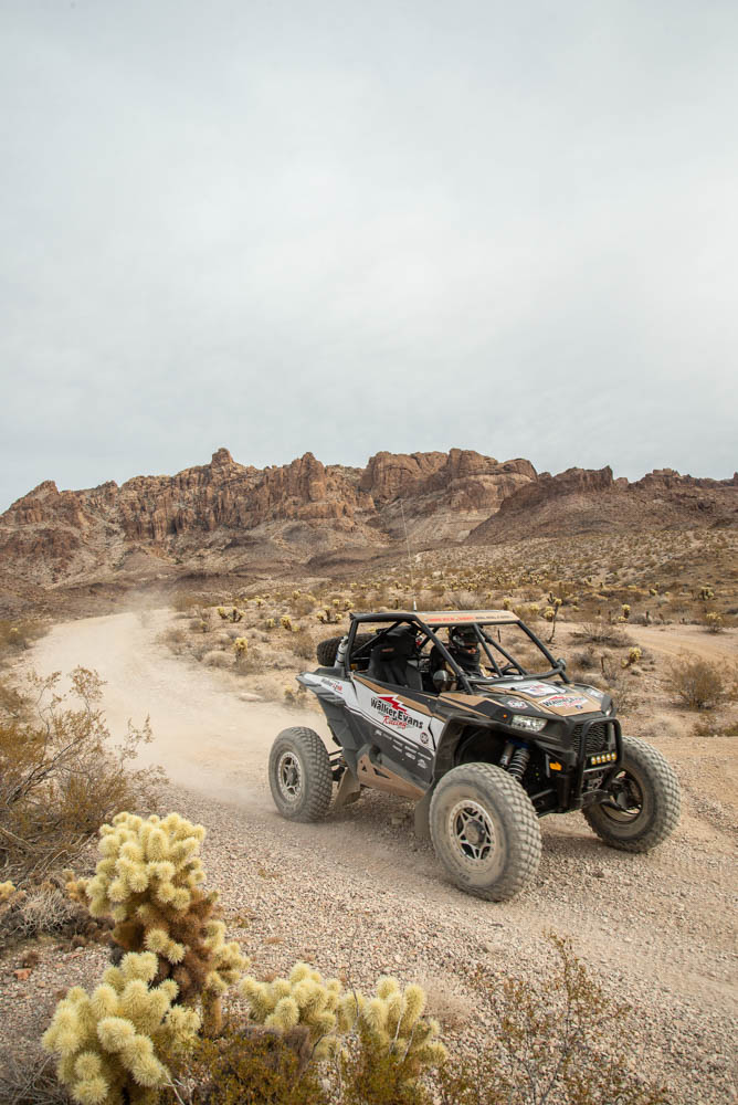
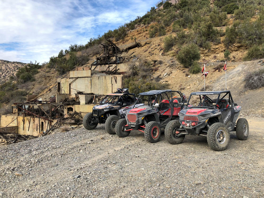
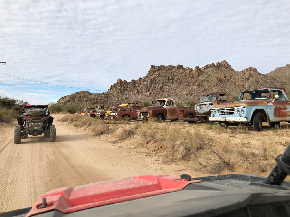
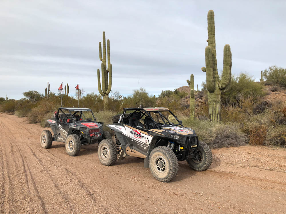
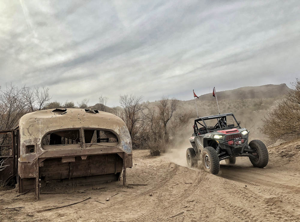
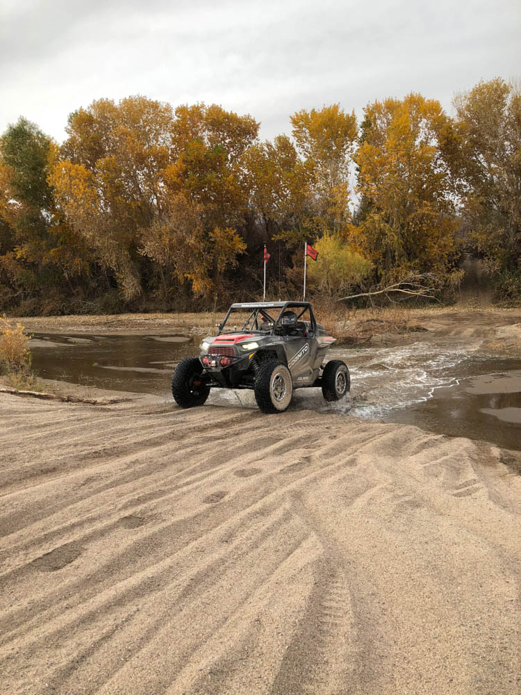
Random Photos from our trip, enjoy!